Abstract or Summary
The Wetlands mapper is designed to deliver easy-to-use, map like views of America’s Wetland resources. It integrates digital map data along with other resource information to produce current information on the status, extent, characteristics and functions of wetlands, riparian , and deepwater habitats. The Wetland Mapper fulfills the U.S. Fish and Wildlife Service’s strategic plan for the development, revision and dissemination of wetlands data and information to resource managers and the public. This information is intended to promote the understanding and conservation of wetland resources through discovery and education as well as to aid in resource management, research and decision making.
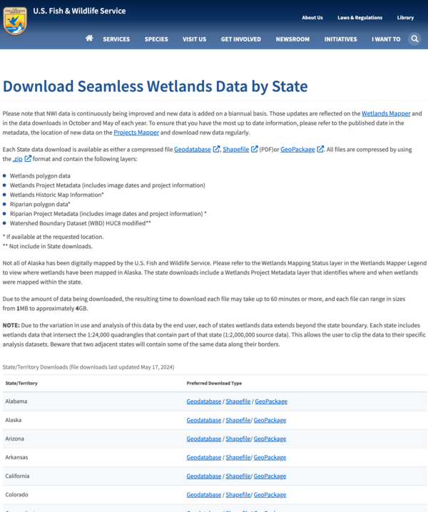
National Wetland Inventory Data is available as either a compressed file Geodatabase or a Shapefile (PDF). Both files are compressed by using the .zip format and contain the following layers: Wetlands polygon data, Wetlands Project Metadata, Wetlands Historic Map Information, Riparian polygon data, Riparian Project Metadata, Historic Wetlands, Historic Wetlands Project Metadata, Watershed Boundary Dataset(WBD)HUC8 modified